On a map of Greenland, Ittoqqortoormiit looks like a typo. A tiny dot, way out on the east coast, hovering over a fjord that's comically large for the village at its mouth.
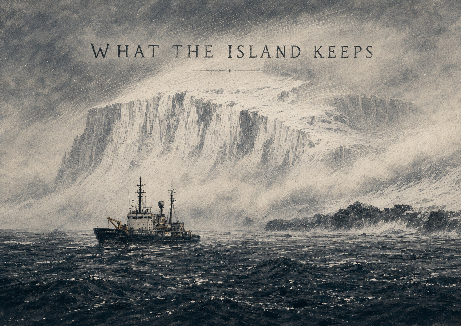
Wrong turn approved.
Where Is Ittoqqortoormiit On a Map?
Ittoqqortoormiit sits at 70.4853° N, 21.9633° W, on a small peninsula on the east coast of Greenland. To the south and west, the peninsula opens into Scoresby Sound (in Greenlandic, Kangertittivaq) — the largest fjord system on Earth. To the east, the Greenland Sea, then nothing but ice until the coast of Svalbard.
The town is officially part of the Sermersooq municipality, which covers an area larger than France for fewer people than fit in a single big-city neighborhood.
What Country Is It In?
Greenland. Greenland is an autonomous territory of the Kingdom of Denmark, with its own parliament, prime minister and Greenlandic-language administration. Locally, Ittoqqortoormiit falls under the same municipality as Greenland's capital, Nuuk — even though the two are about 2,200 km apart.
How Remote Is "Most Remote"?
"Most isolated town in the Arctic" gets thrown around a lot. Here's what it actually means in Ittoqqortoormiit's case:
- Nearest other inhabited town: Tasiilaq, ~800 km south.
- Nearest capital: Reykjavík, ~1,500 km east — and that's the easy direction.
- Nearest road network: none in Greenland. Towns are connected only by air or sea.
- Sea access: open only briefly each summer, when the pack ice clears.
Put differently: from Ittoqqortoormiit, you are closer to the North Pole than to Greenland's own capital.
What's Around It?
Just outside town the geography stops behaving normally:
- Scoresby Sound — 350+ km long, with side fjords that branch like a tree.
- Northeast Greenland National Park — the largest national park on Earth, starting just north of town.
- Polar bears — actively present. Walking outside the village without an armed local guide is not a thing.
- Icebergs — calving from the inland ice sheet, drifting slowly past the harbour.
How Did A Town End Up Here?
Ittoqqortoormiit was founded in 1925, when about 70 Inuit settlers were relocated from Tasiilaq, far down the coast, partly to strengthen Danish claims over east Greenland and partly because the area was rich in hunting grounds. The village grew slowly. It has been shrinking again for the last few decades — but it is still very much alive.
So What's The Easy Way to Picture It?
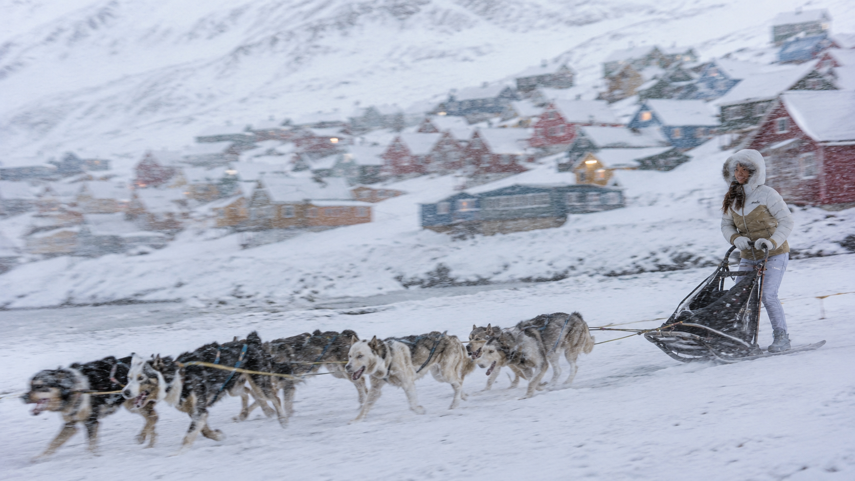
Imagine the east coast of Greenland as a giant wall of ice. Imagine one comma-shaped notch cut into that wall — that's Scoresby Sound. Imagine a tiny constellation of red, blue, yellow and green houses on a hill just inside that notch. That's Ittoqqortoormiit.